
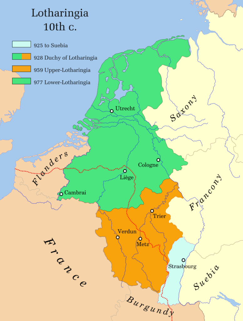
Now that Philip the Bold is firmly in control of the Counties that he inherited from his father-in-law let’s take a look at these lands. In this episode we’ll explore the Two Burgundies (The Duchy and County of Burgundy), The County of Nevers, the Champagne Lands, and Philip’s ‘Lands Down There’ (Flanders and Artois) and Rethel. We’ll also take a look at Brabant and Limburg where the Burgundian influence is steadily growing.

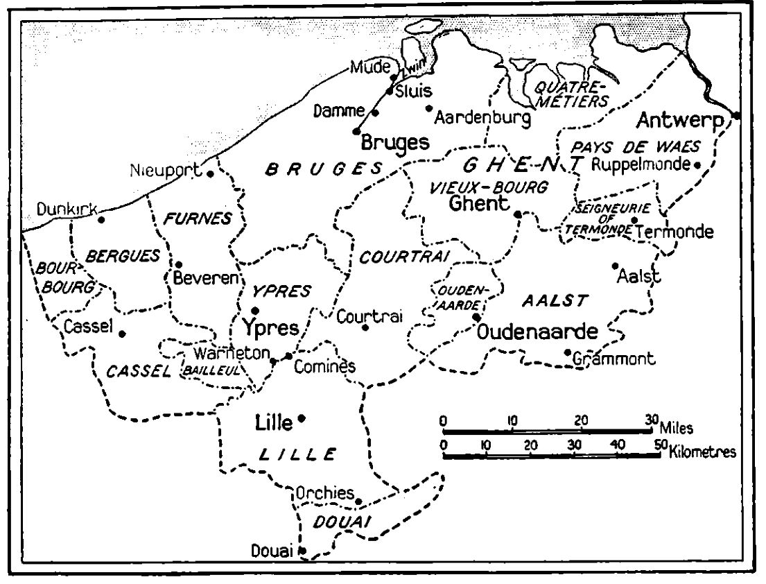
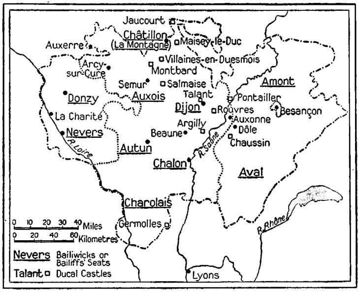
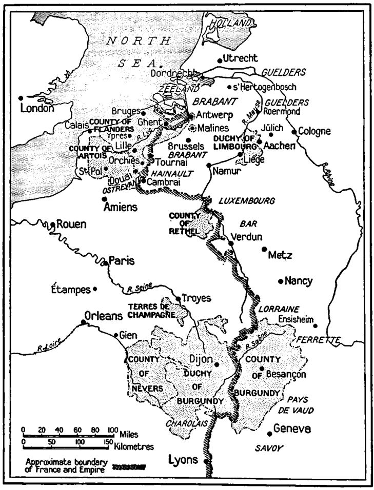
These maps from Richard Vaughan’s book Philip the Bold show The County of Flanders and castellanies (Top Left), The Two Burgundies and Nevers (Bottom Left) and the whole Burgundian Complex of Territories under Philip the Bold (Right)
Sources
Philip the Bold by Richard Vaughan
Magnanimous Dukes and Rising States by Robert Stein
The Promised Lands by Wim Blockmans and Walter Prevenier
The City, the Duke, and their Banker by Bart Lambert
The Golden Age of Burgundy by Joseph Calmette
The Burgundians by Bart Van Loo
Medieval Flanders by David Nicholas
The Fair Face of Flanders by Patricia Carson
A History of the Low Countries by Paul Arbalaster
